


Attractions to Visit

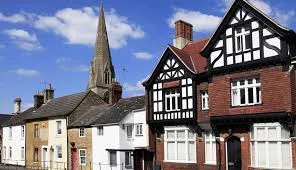


UAT-Test-Attraction
Culture and Heritages, UAT-Test-Tag
Test attraction created by automated UAT run.
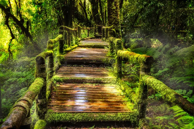
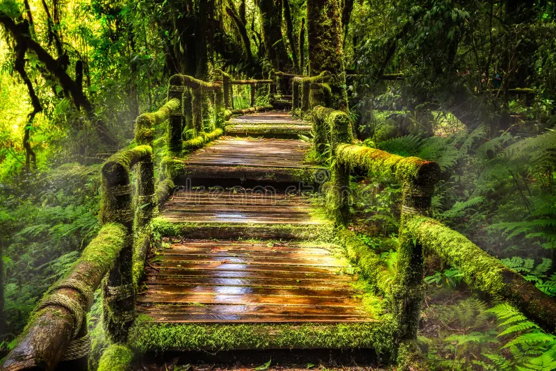
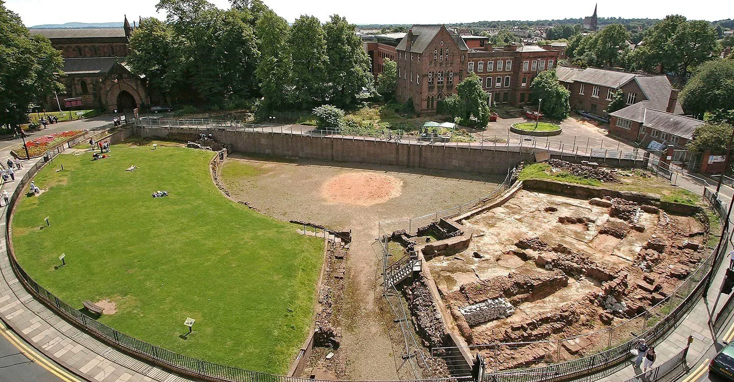
Arena_1
Culture and Heritages, Rivers and Lakes, Architecture and Art, Nature and Wildlife, Historic places
link aschjsbdjkhs
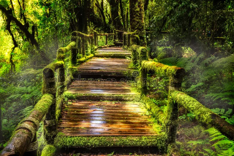
Kielder Waterside [TEST]
Culture and Heritages, Rivers and Lakes
As well as a visitor hub in a scenic location, offering many things to see and do, Kielder Waterside is also a centre for staying guests. With panoramic views of the reservoir, this is the ideal base to recharge and refresh or take part in an action-packed day of activities. Facilities are open to both day visitors and onsite guests. Luxury lodge accommodation activities include; segways, archery, crazy carts, water walker and disc golf http://www.bookwhen.com/kielderwatersideactivities . Water activities include paddleboarding & canoeing, pleasure boat & fishing boat hire (seasonal), lakeside way & other trails, bike hire (seasonal), miniature golf, Indoor swimming pool, sauna & spa (pre-booking required), gift & essentials shop including fishing permits, tackle & outdoor wear, birds of prey centre, outdoor children\\\'s play area & indoor soft play, art & architecture, human burrow, the Forest Bar & Kitchen Hide café, Osprey Ferry terminus - bookwhen.com/kielderwatersideferry, tipi weddings, toilets, disabled access, Kielder Waterside Caravan Park (seasonal) - to book your pitch please visit: www.bookwhen.com/kielderwatersidecaravanpark
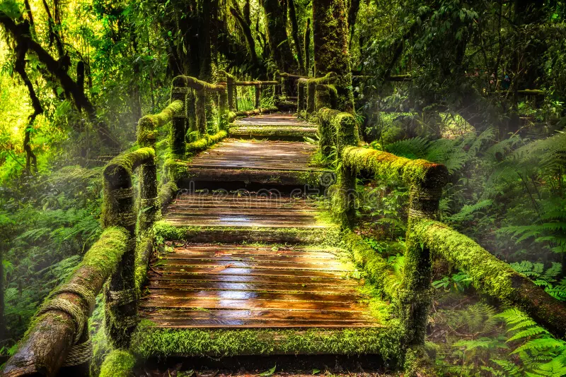
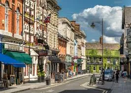
Stranraer Harbour
Rivers and Lakes, Sites and Castles
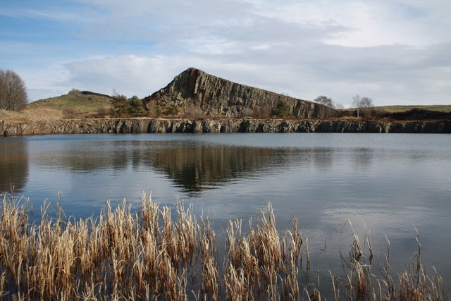
Located at the southern end of Loch Ryan, next to the town of Stranraer, Stranraer Harbour consists of a: dog-leg quay modern marina finger pontoon The finger pontoon is used by smaller fishing vessels, excursions and recreational craft. Ferry terminals are located north of the harbour and managed by a separate Statutory Harbour Authority. Stranraer Harbour is situated at a sailing cross-roads, giving access to the: Clyde Solway Isle of Man North Channel Irish Sea Boats in Stranraer Harbour Stranraer Harbour facilities Stranraer Harbour has: 69 annual berths 8 visitor berths secure pontoon mooring with CCTV monitoring water electric fuel shower and toilet The town of Stranraer has: a range of shops cafes, hotels, restaurants banks regular bus and rail links a golf course a leisure centre – Ryan Centre Harbour documents Our harbour documents section has: a berths and moorings application form our harbours directory harbour fees and charges harbour electricity supply charges
Kielder Castle and Village
Sites and Castles
A visit to Kielder Castle visitor centre will uncover many surprises. Get lost in the Minotaur Maze, discover the fascinating night sky or walk along the unique Lakeside Way, a 26 mile multi-use path around the lake which can be accessed from Kielder Castle. Take a stroll along the former track of the Border Counties Railway line to the Kielder Viaduct and absorb the staggering views of the forest and reservoir from the top. The country’s best-preserved ‘skew-arch’ bridge soars above the point where the North Tyne flows into the Bakethin Reservoir, and you can walk beneath the soaring arches once you’ve enjoyed the view from the top. Even if fishing doesn’t hook you, the nearby Kielder Salmon Centre makes for a fascinating visit. Home to the largest conservation hatchery in England and Wales, up to 900,000 salmon are bred here each year. You’ll discover the amazing life cycle of salmon and see the fresh-water pearl mussels living in their artificial stream.
Kielder Observatory
Nature and Wildlife, Galleries and Museums
Nestled in the Kielder Water and Forest Park in Northumberland, Kielder Observatory is a spectacular experience for all the family. At nearly 580 square miles, our dark sky zone, known at Northumberland and Kielder Water & Forest International Dark Sky Park, is the second largest area of protected night sky in Europe. Here the stargazing can be breath-taking: the ‘Kielder moment’ is very special, the moment that visitors look up at the glittering skies and realise that they’re completely connected to this vast cosmos, yet utterly unique within it. Like the deck of a ship sailing above the landscape, the Observatory provides astronomers with a permanent facility in the heart of Northumberland. It is part of the art and architecture programme that has turned Kielder Water and Forest Park into an open-air gallery over the last 10 years. The observatory hosts events to suit everyone: there are family events to entertain young explorers; relaxed events for people with different abilities; introductory events; legends behind the constellations events; and events focusing on phenomena such as the aurora, our moon, dark matter, and exoplanets.
River Tweed
Rivers and Lakes
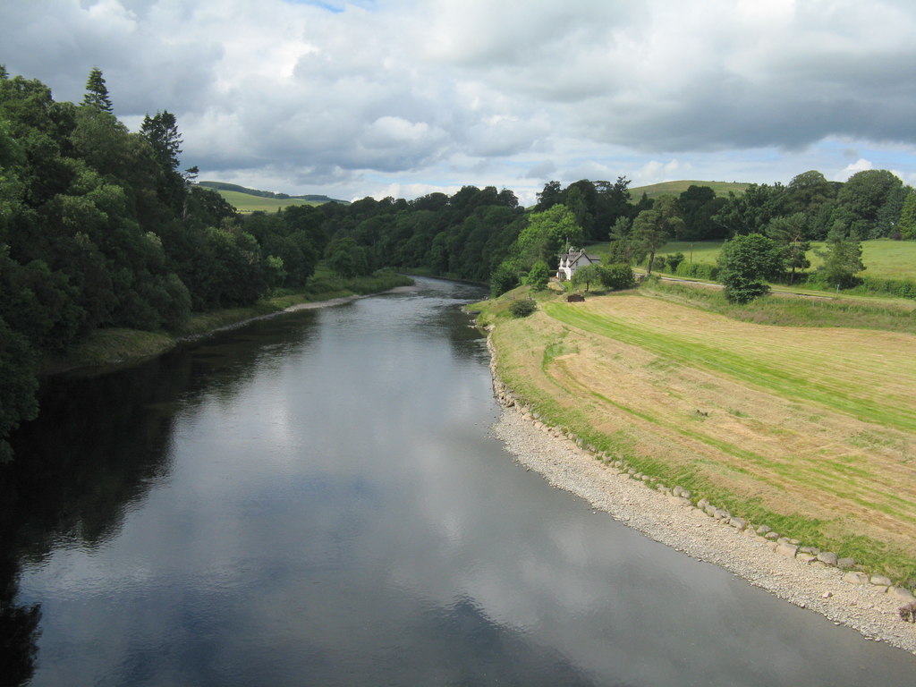
The River Tweed is a majestic waterway that has been an integral part of Scotland's history and culture for centuries. It flows through the beautiful Scottish Borders region, stretching for over 97 miles from its source in the Southern Uplands near Moffat, to its mouth at Berwick-upon-Tweed where it finally meets the North Sea. As one of the world's most iconic rivers, it has played a vital role in shaping Scotland's past and present. It was once a major trading route in medieval times, with ships carrying goods and people up and down the river. Its strategic location also made it a site of numerous battles during times of war between England and Scotland.
Crook Inn
Culture and Heritages, Sites and Castles
The Crook Inn has been at the heart of Tweedsmuir for more than 400 years. In 1604 it was one of three inns licensed under new laws introduced in Scotland by King James I/VI, to ’restrain the inordinate Haunting and Tippling of Inns, Alehouses, and other Victualling Houses’. It continued to offer hospitality to visitors and the community alike until its closure in 2006. In 1688 the local Minister was ousted by his congregation, who preferred the Covenanters. He took the key to the Kirk, so services were held in The Crook until the Kirk could be reopened. The next minister was ordained at the inn
Tweedsmuir Village Hall
Sites and Castles
Tweedsmuir (Scottish Gaelic: Sliabh Thuaidh) is a village and civil parish in Tweeddale, the Scottish Borders Council district, southeastern Scotland. Geography The village is set in a valley, with the rolling hills and burns on both sides, covering some fifty square miles. It incorporates settlements at Hearthstane, Cockiland, Menzion, and Oliver. Tweedsmuir was in the historic county of Peeblesshire. It is situated 8 miles (13 km) from the source of the River Tweed. History James Hogg recorded that in 1620 a severe storm remembered as 'the thirteen drifty days' caused such severe sheep losses that a glen in Tweedsmuir owned by Sir James Montgomery was converted to a common grazing and remained as such for almost a century. Landmarks and features Oliver Castle was one of the local strongholds, and later country estates, of the Clan Tweedie family. The Parish Church of Tweedsmuir was built with Scottish red sandstone in 1874 on site of earlier 1643 structure. It is a Category B listed building. There are notable Tweedie gravestones in the parish churchyard. The Crook Inn is in the village, on the A701. It is one of many claimants to be the oldest inn in Scotland. It is where Robert Burns wrote "Willie Wastle's Wife". The 22 MW Glenkerie wind farm of Infinis is located five kilometres (three miles) northwest of the village. Talla Reservoir The Talla Reservoir is nearby. In 1894 the Edinburgh and District Water Trustees decided to build Talla as the new source of water for Edinburgh. The surface and the gradient of the main road were unsuitable for carting the quantities of material that would be needed for the new reservoir, so the Talla Railway was built from Broughton to Talla. While work on the railway and the reservoir was in progress, a large number of workmen lived in Tweedsmuir, dramatically increasing the population. The valve-closing ceremony was held at Talla on 20 May 1905, and on 28 September, when the reservoir was about two-fifths full, there was an inaugural ceremony. The large company was brought from Edinburgh in two special trains, which were hauled for the last stage of the journey, from Broughton Station, by small service engines on the Talla railway.